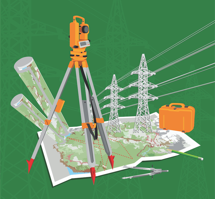
Topographical & DGPS Survey
ONE-STOP SOLUTION FOR SURVEYING & MAPPING
Deltacons uses Electronic Total Station and DGPS instruments to produce topographical and contour maps which are critical for all the Engineering projects taken by our clients.
We are specialised in forest land survey and preparation of drawings as per the guidelines of the forest department.
Hill road alignment, a mastered service at Deltacons for Wind Power Projects set up on complex terrains. Finding cost effective, in best possible gradient, is critical for Wind Power Projects as its cost directly affect the project viability.
We also take up Cadastral Survey to identify land parcels, its ownership and other related revenue documents.
We won numerous accolades from our clients for achieving cost effectiveness, timeliness and precision.
